Backroads Gravel 2026Sat 8 Aug · Nabawa, WAResults & photos
C-Wise Dwellingup 100Sat 12 Sep · DwellingupEnter now
Mighty Jarrah Trail RunSat 12 Sep · DwellingupEnter now
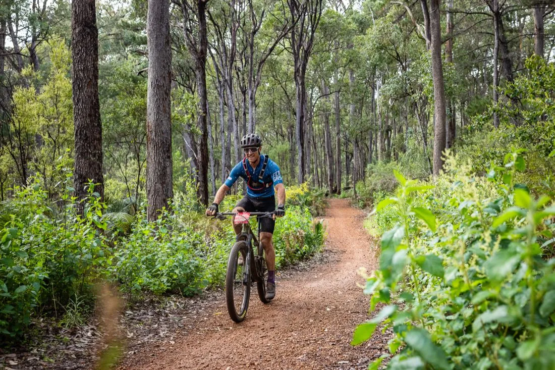
Singletrack through the jarrah forest at Dwellingup

Courses.

Every distance runs on the Dwellingup trail network, starting and finishing in town. Course maps, GPX files and elevation profiles are published closer to the event.

Maps coming soon

Final course maps, GPX downloads and elevation profiles are confirmed closer to event day once trail conditions are checked. They will appear in the sections below as soon as they are available.

Dwellingup 100

The ride courses.

100kmBoomer
Actual Distance = 98.7kmTotal elevation gain = 1,703m

The full Dwellingup 100 and the WA XCM State Championship course.
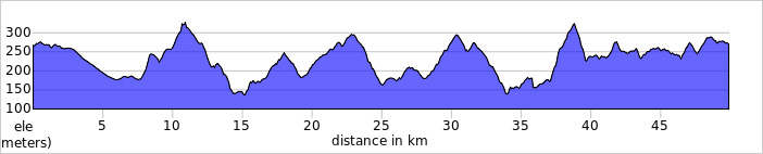
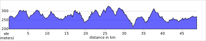
Elevation profile - Southern Loop - First
Elevation profile, 100km Boomer Southern Loop (first lap). Full course 98.7km with 1,703m of climbing.
Elevation profile - Northern Loop - Second
Elevation profile, 100km Boomer Northern Loop (second lap).
Course map — soonGPX — soon
70kmBoxer
Actual Distance = 69.2kmTotal elevation gain = 1,244m

The classic middle distance. Same singletrack, few less km.
Elevation profile - Southern Loop - First
Elevation profile, 70km Boxer Southern Loop (first lap). Full course 69.2km with 1,244m of climbing.
Elevation profile - Northern Loop - Second
Elevation profile, 70km Boxer Northern Loop (second lap).
Course map — soonGPX — soon
40kmWallaby
Actual Distance = 42.7kmTotal elevation gain = 618m

A big day out without the commitment. The most popular distance on the card. E-bikes welcome.
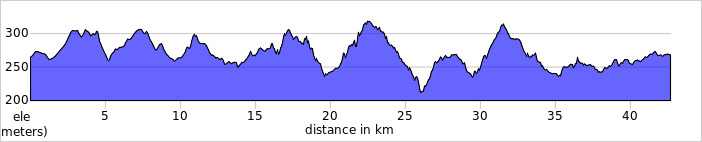
Elevation profile - North
Elevation profile, 40km Wallaby Northern Loop. 42.7km with 618m of climbing.
Course map — soonGPX — soon
20kmJoey
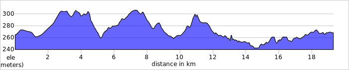
Actual Distance = 19.3kmTotal elevation gain = 241m

Built for first-timers and families. Kids from eight can ride it.

Elevation profile - North
Elevation profile, 20km Joey Northern Loop. 19.3km with 241m of climbing.
Course map — soonGPX — soon
Mighty Jarrah Trail Run

The run courses.

21kmAlmighty
Actual Distance = 21.1kmTotal elevation gain = 374m

The full Mighty Jarrah. Ancient jarrah, and the longest climb of the day.
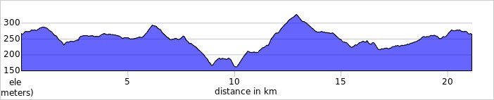
Elevation profile
Elevation profile, 21km Almighty trail run. 21.1km with 374m of climbing.
Course map — soonGPX — soon
12kmMighty
Actual Distance = 13.2kmTotal elevation gain = 203m

The middle distance. Enough trail to feel like a proper day, short enough to enjoy the finish.

Elevation profile
Elevation profile, 12km Mighty trail run. 13.2km with 203m of climbing.
Course map — soonGPX — soon
6kmMini & Doggie Dash
Actual Distance = 5.9kmTotal elevation gain = 86m

Run it, walk it, or bring the whole family. Open to anyone from eight up.
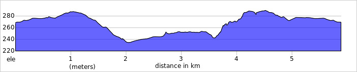
Elevation profile
Elevation profile, 6km Mini and Doggie Dash. 5.9km with 86m of climbing.
Course map — soonGPX — soon